Wetlands you can visit

Northland Region

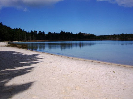
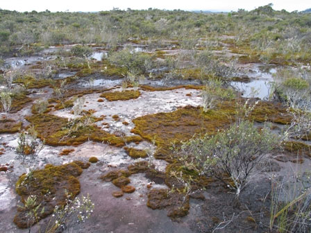
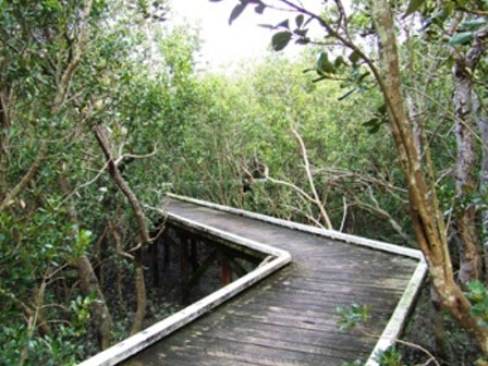
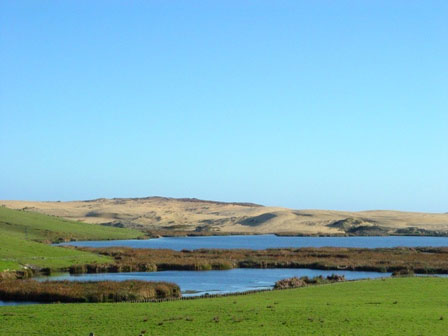
Download a brochure on wetlands you can visit in the Northland Region and see our top picks below.

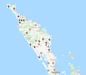
Find their location on Google Maps or  take a virtual tour on Google Earth.

Find out more about wetlands in the Northland Region and how to restore them, or read these factsheets on different wetland types in Northland:

Know of a New Zealand wetland with public access? Tell us. 

This page is sponsored by the Northland Regional Council

Kai Iwi Lakes

Dune lakes

Three clear, blue rain-fed dune lakes with white sand beaches, surrounded by gumland, wetland and pines. Among the deepest dune lakes in the country, they support rare dwarf inanga and water plant Trithuria inconspicua, as well as freshwater crayfish, crabs and mussels, eels, and rainbow trout, dabchick, grey ducks, grey teal, and other waterfowl.

Several walkways, boating, fishing, swimming.

Contact Kaipara District Council for more information and to book campgrounds (09) 439 7059

Lake Ohia

Ephemeral gumland lake

Other-worldly scene of charred stumps and gumland scrub in a former lake bed which is dry over summer, wet in winter. The site of a drowned forest, with a maze of 30,000 year old kauri tree stumps exposed when the lake was drained earlier this century for gum-digging. Important habitat for rare ferns, mosses and orchids. The surrounding swamps and shrubland contain threatened fish and bird species.

The Gumhole Reserve Walk is a 10 min loop track through manuka passing a series of holes excavated by gum diggers (watch out for holes as you walk). Not suitable for swimming, this is a dry lake bed.

Limeburners Creek

Estuary

Extensive estuary in Whangarei Harbour with mangroves, saltmarsh, and mud flats with lush eelgrass beds.

Two flat, all-weather walks, Limeburners Creek (1.3 km) with interpretation panels and boardwalk), and Waimahanga walkway (3.5 km) along a disused railway line and through mangroves swamps, shorter sections from 10-45 minutes can be walked.

Te Werahi

Coastal raupo swamp and dunes

One of the largest raupo swamps in Te Paki near the tip of New Zealand. The landscape is remote and highly natural and scenic on the rugged west coast. Very important site for waterfowl and a regionally important moulting site.

The wetland can be accessed via boardwalks 1.5 km down the Twilight–Te Werahi Loop Track. The full 16 km loop track takes 4-5 hours – take water and food – and passes through farmland, swamp, dunes, shrubland and coastal wetlands. Links to 3 day Cape Reinga Coastal Walkway. Note the beach is not safe for swimming.

Click here to take our Google Earth tour of wetlands in this region. Follow these simple steps. For best results select the Terrain box in the Layers folder on the right hand menu.

You will need to have access to Google Earth to run this programme. You can download it for free.

You can either view individual sites and associated information by clicking on them, or select the Play Tour button that appears when you click on the Northland folder.

Download

Northland Wetland
Tour (44kb)