Wetlands you can visit

Hawkes Bay and Gisborne Regions

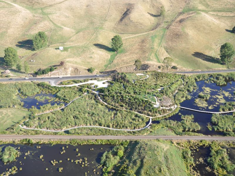
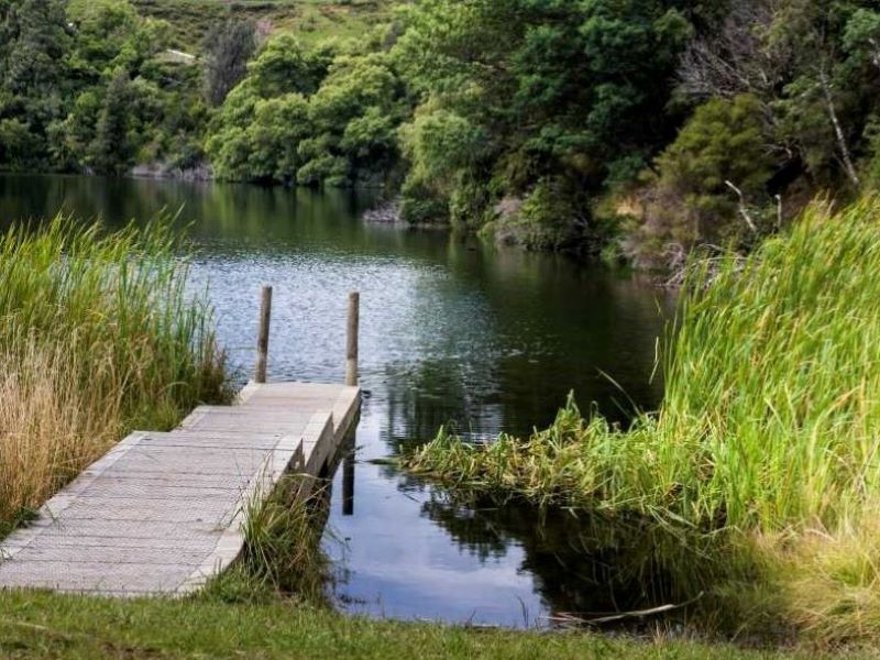
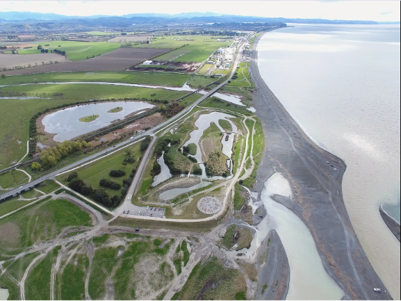
Download a list of wetlands you can visit in the Hawkes Bay and Gisborne Regions and see our top picks below.

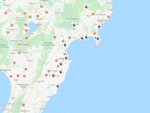
Find their location on Google Maps or take a virtual tour on Google Earth.

Find out more about wetlands in the Hawkes Bay Region.

Know of a New Zealand wetland with public access? Tell us. 

This page is sponsored by the Hawkes Bay Regional Council

We are very grateful to Cindy Asmat for her help in compiling the Hawkes Bay/Gisborne directory of wetlands to visit.

Pekapeka Regional Park

Freshwater wetland

Pekapeka (98 ha) has been the site of a major restoration project since the 1990’s aimed to improve wetland capacity to regulate flood waters and increase the natural biodiversity.

You can explore short pathways, boardwalks across the wetland, and hike up to the lookout for a panoramic view of the valley.

Watch some drone footage of Pekapeka wetland.

Lake Opouahi

Freshwater lake

Lake Opouahi and its associated waterways were traditionally significant sources of kai (food) for hapū (local people). The lake and waterways supplied uniquely tasting tuna, kākahi (freshwater mussels), kōura (freshwater crayfish) and kōkopu (freshwater fish), as well as the daily water supply, being a deep, spring-fed lake.

A 3 km predator proof fence has been constructed around the 6 ha lake, and provides 40 hectares of safe habitat for North Island brown kiwi chicks while they gain size to defend themselves against the attack of stoats. The ECOED Trust offers educational kiwi experience tours.  A 30-minute loop walk takes you around the lake through regenerating bush full of birds. This is also a Kiwi Guardians site – find the code word and earn a medal.

Waitangi and Tukituki estuaries

Estuaries

These estuaries are of special significance to Maori and support a wide array of native and introduced species of waders and waterfowl, as well as being an important spawning ground for the native galaxid fish species.

A 30-minute circular walk includes Ātea a Rangi – a Star Compass constructed to celebrate the extraordinary navigation skills and tools of ancient Māori.

Waikareiti

Forested lake

Nestled in dense native red and silver beech forest is the smaller cousin of the famous Lake Waikaremoana. Lake Waikareiti formed as a result of a massive 10 km wide landslide 18,000 years ago.

An easy 3 km (one-way) forest walk leads to a lake overlook platform. Listen out for kākā and kākāriki parrots. Allow 2 hours.

Click here to take our Google Earth tour of wetlands in this region. Follow these simple steps. For best results select the Terrain box in the Layers folder on the right hand menu.

You will need to have access to Google Earth to run this programme. You can download it for free.

You can either view individual sites and associated information by clicking on them, or select the Play Tour button that appears when you click on the Waikato folder.

Download

Hawkes Bay and Gisborne Wetland Tour
Tour (44kb)