Wetlands you can visit
Wellington Region
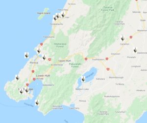 Download a list of wetlands you can visit in the Wellington Region and see our top picks below.
Find their location on Google Maps or take a virtual tour on Google Earth.
Find out more about some of the wetlands in the Wellington Region.
Know of a New Zealand wetland with public access? Tell us.
This page is sponsored by Greater Wellington (the Wellington Regional Council).
Lake Wairarapa (Wairarapa Moana)
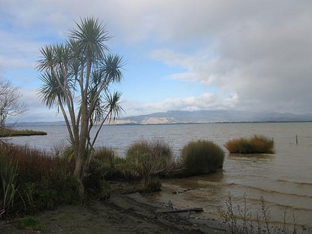
Freshwater and brackish lakes and wetlands
New Zealand’s 7th Ramsar wetland, this is the largest wetland system in the lower North Island (> 9000 ha) and habitat for over 100 species of birds, including large numbers of international migrants such as:
- Bar-tailed godwit
- Golden plover
- Pied stilt
- Banded dotterel
- Great knot
- Black-fronted dotterel and
- Caspian tern
Also important breeding, feeding and roosting habitat for resident species including matuku (Australasian bittern), koitareke (marsh crake), and pūweto (spotless crake).
Fish include threatened brown mudfish and giant kokopu. Largest community of shoreline ‘turf’ plants in the North Island with many rare species including water brome (Amphibromus fluitans) and the herb Crassula ruamahanga.
Picnic area, game bird hunting in season, fishing, boating, kayaking, bird watching, walks. Download a Park Brochure.
Ngā Manu
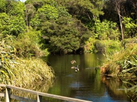
Freshwater swamp forest complex
A trust was established in 1974 to protect and provide visitor access to Ngā Manu Nature Reserve. The wider area is the largest single remaining remnant of original coastal lowland swamp forest on the Kapiti Coast, with plenty of mature kahikatea, swamp maire and pukatea trees.
Adjacent land is owned by Kapiti Coast District Council and private landowners, some of which protect their natural areas through QEII Open Space covenants.
Native bird aviaries, eels, forest and wetland walks. Lookout tower. Forest gazebo. Picnic sites and visitor centre.
Entrance fee applies.
Parangarahu Lakes
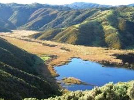
Lowland freshwater lakes and swamp
Situated in East Harbour Regional Park at the entrance to Wellington Harbour, these two lakes, Kohangatera and Kohangapiripiri, are just 4 km ‘as the crow flies’ from Wellington airport.
The lakes are home to many rare and endangered species including birds that depend on large areas of thick wetland vegetation (e.g. Australasian bittern and spotless crake) and aquatic plants that have been displaced elsewhere by introduced species (e.g. Lepilaena bilocularis, Ruppia polycarpa). The adjacent beach ridges also support a range of rare plants.
Walkways around lakes, wetland boardwalk, mountain bike trails. Access requires a 2 hour walk or 35 min mountain bike ride (bicycles available for hire at Burdans Gate).
Taupo Swamp
Lowland mire
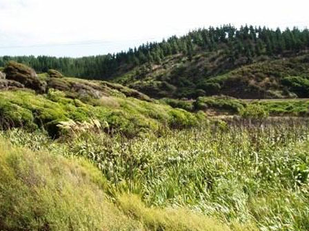
Former inlet of Porirua Harbour which was uplifted by earthquakes. After attempts to drain the wetland for farmland failed it was planted with commercial varieties of flax in the 1880s to aid its natural spread. The wetland is now dominated by indigenous species and one of the largest and most important in the region. Wetter areas support flax and raupo, and drier areas of the swamp toetoe and native shrubs. Rare plants found deep in the swamp include swamp nettle (Urtica perconfusa) and swamp buttercup (Ranunculus macropus). The well shaded and peat-stained Taupo stream, which runs through the swamp, is ideal habitat for native fish, including the rare giant kokopu. The wetland is owned by the QEII National Trust.
Ara Harakeke cycleway and walkway runs adjacent (along with State Highway 1 and the North Island Main Trunk Railway).
Google Earth Tour
Click here to take our Google Earth tour of wetlands in this region. Follow these simple steps. For best results select the Terrain box in the Layers folder on the right hand menu.
You will need to have access to Google Earth to run this programme. You can download it for free.
You can either view individual sites and associated information by clicking on them, or select the Play Tour button that appears when you click on the Wellington folder.
Download
Wellington Wetland
Tour (44kb)
